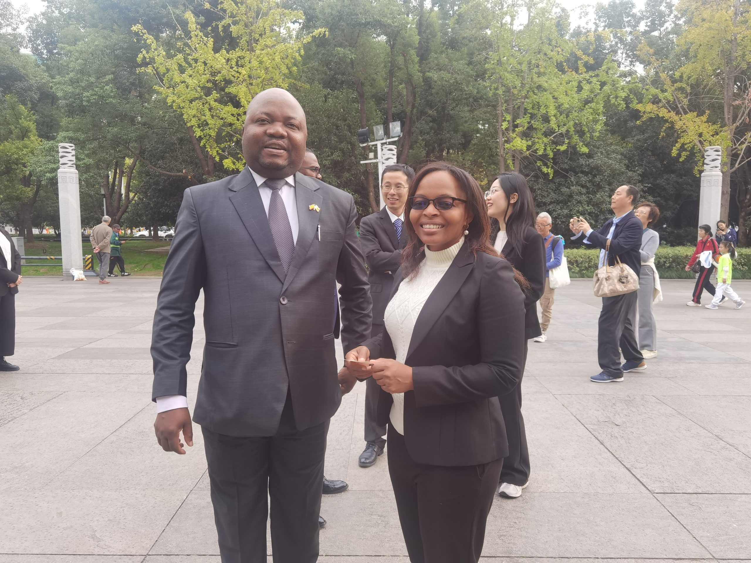
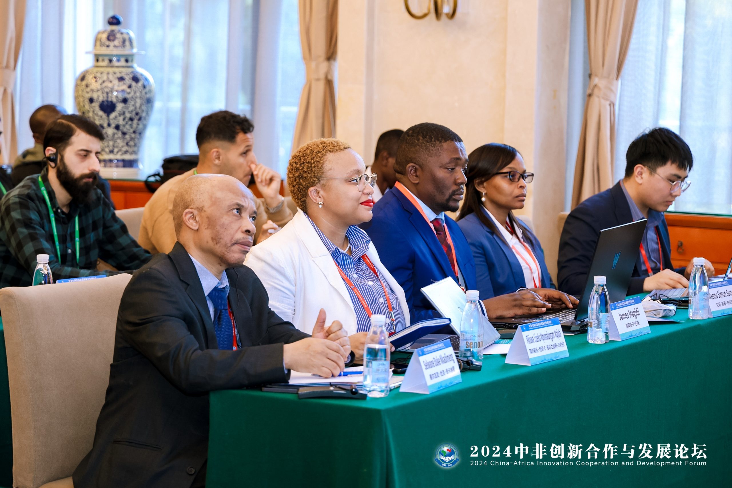
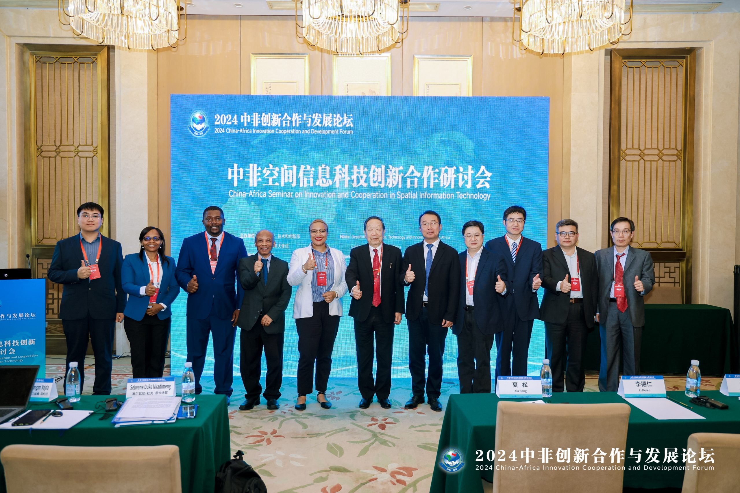
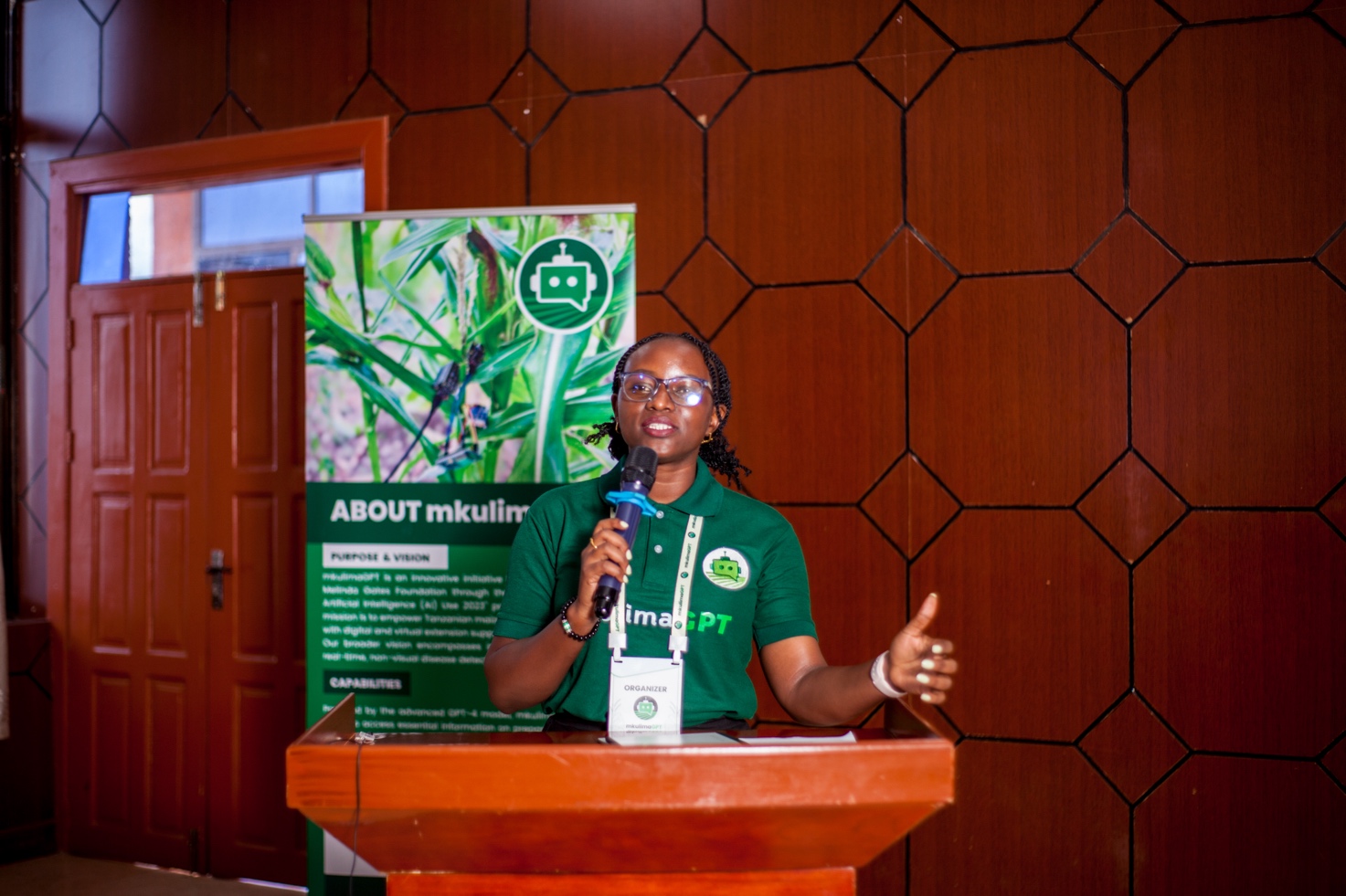
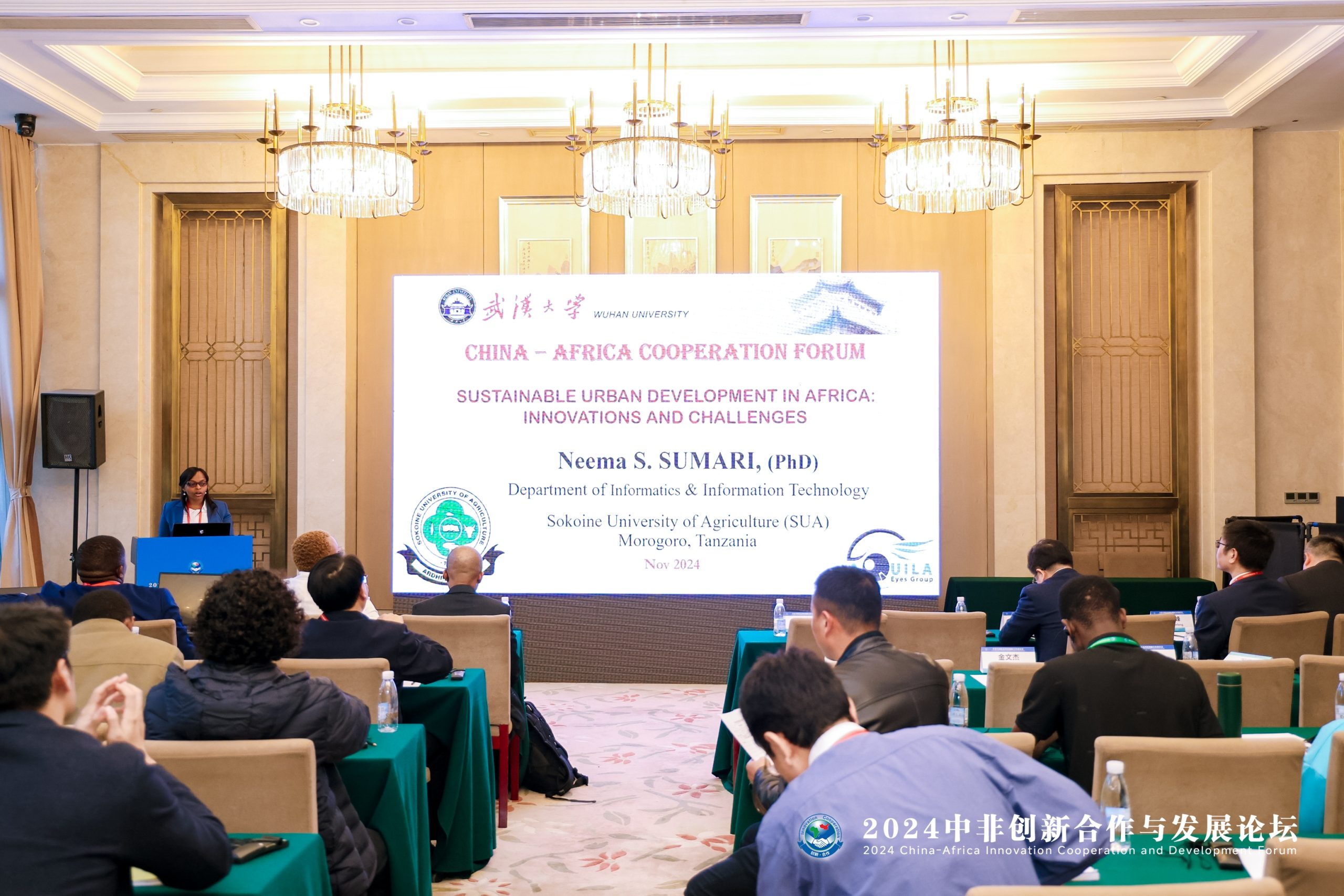
Dr Neema Sumari from the Department of Informatics and Information Technology (DIIT) at the College of Natural and Applied Sciences (CONAS) of the Sokoine University of Agriculture (SUA) attends the 2024 China-Africa Innovation Cooperation and Development Forum held in Wuhan, Hubei Province, China.
Dr. Sumari explained, “The 2024 China-Africa Innovation Cooperation and Development Forum provided a valuable platform for fostering collaboration between China and African nations, particularly in innovation, technology, and sustainable development. As a participant, I found the forum to be a well-organized event with insightful discussions on the future of Africa-China relations in innovation”. Dr. Sumari continued to praise the forum that “The forum successfully facilitated important discussions about the need for greater China-Africa collaboration in innovation. A key outcome was the agreement on establishing joint innovation hubs, which could potentially drive development in key sectors. However, I would have liked to see more concrete commitments or timelines for these initiatives.
Dr. Sumari presented her topic on Sustainable Urban Development in Africa: Innovations and Challenges.

The signing of the Memorandum of Understanding (MoU) at the 2024 China – Africa Innovation Cooperation and Development Forum marked a significant milestone in the growing relationship between the Sokoine University of Agriculture and LIESMARS, Wuhan University in the fields of Urban Remote Sensing and Sustainable Development. This agreement between two parties is crucial to fostering deeper collaboration and facilitating knowledge exchange between the regions/continents.
Academician Professor Li Deren from LIESMARS (Wuhan University) pointed out that spatial-temporal intelligence is a science and technology that uses remote intelligent sensors, cloud computing, and artificial intelligence to perceive and recognize natural and human activities and to support intelligent decision-making. It is a new stage of development of surveying, mapping, and remote sensing. It is an important part of artificial intelligence, it can automatically answer when (where), what object, what change, and why, to promote the coordinated sustainable development of people and nature. Spatial-temporal intelligence is an important part of service science, which intelligently sends the right data, information, and knowledge to the right person in the required time.
